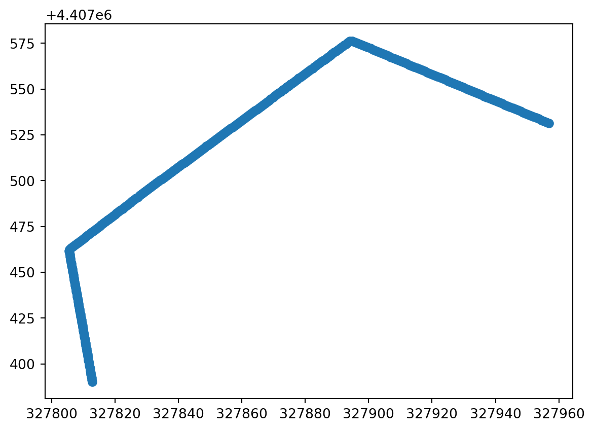
coords_from_df maps table columns onto a patch dimension. This example adds surveyed X, Y, and Z coordinates along distance.
Code
import pandas as pdimport dascore as dc# Pandas needs a local path rather than an examples:// URI.path = dc.examples.fetch("brady_hs_DAS_DTS_coords.csv")coord_table = pd.read_csv(path).rename(columns={"Channel": "distance"})patch = dc.get_example_patch()units = {name: "m"for name in coord_table.columns[1:]}new_coordinates = coord_table.iloc[51:]